Distances: 34 / 39 / 47 miles Climbing: 65 / 75 / 80 feet per mile
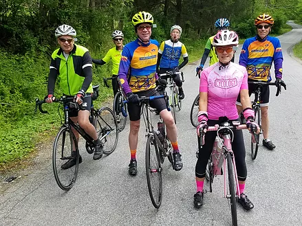
Description: These three routes start together from the Fontaine Research Park, leave town on Old Lynchburg Road, and stay together for the first 18 miles. The short route returns fairly directly via Old Lynchburg Road back to Fontaine. The other two routes add extra miles and extra climbs before returning via US 250 and through campus.
Stores: Mile 16 (Crossroads Store)
Alerts: There are steep, somewhat technical descents at mile 22 (long route; possible gravel), on Dry Bridge Road (mile 27/34; medium and long routes), and on Tilman Road (mile 28/36; medium and long routes).
Starting Point
Fontaine Research Park 419 Ray C. Hunt Drive Charlottesville, VA 22903 GPS: 38.025806, -78.526585
At Fontaine Research Park on Ray C. Hunt Drive, Turn right at the top of the entrance road and park at the back of the large parking lot on the right, near the woods.
Stillhouse Creek Warning – Long Route Only
Route Temporarily Retired Due To Construction Long Route Only
Due to a bridge replacement on Stillhouse Creek over Whiteside Branch near Batesville, this route should not be used beginning April 6, 2026. VDOT anticipates completion of this work before the end of May 2026.