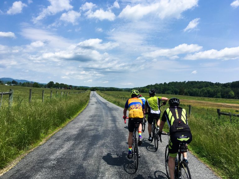
Distance: 32 / 35 miles
Climbing: 70 / 65 feet per mile
Note: These routes were changed in January 2024 due to the bridge closure on Frays Mill Rd. Be sure you have a current GPS route, map, and cue sheet.
Description: From Spring Hill Baptist Church, this route takes you on Spring Hill Rd, Cedar Grove Rd, Advance Mills Rd, Dunnes Shop Rd, Swift Run Rd, Beazley Rd, Celt Rd, Pea Ridge Rd, Dyke Rd, Amicus Rd, Bingham Mountain Rd, Simmons Gap Rd, Buffalo River Rd, Frays Mountain Rd, Frays Ridge Crossing, Frays Ridge Rd, Advance Mills Rd, Cedar Grove Rd, and Spring Hill Rd. The long route takes Pea Ridge off of Celt, continues on Dyke and Amicus, and joins the short route on Bingham Mountain Rd.
Stores: None
Alerts: None

Starting Point:
Spring Hill Baptist Church
2620 Frays Mill Rd
Ruckersville, VA 22968
GPS: 38.190950, -78.407920